Eagleview and SkyWatch Announce Alliance to Expand Access to Ultra High-Resolution Aerial Imagery

New collaboration brings Eagleview’s industry-leading imagery to the SkyWatch platform, including Esri’s Content Store for ArcGIS, for single image purchases
Eagleview, a leading provider of aerial imagery and analytics, and SkyWatch, a leader in remote sensing data technology, today are announcing a new collaboration that makes Eagleview’s ultra high-resolution aerial imagery available across the SkyWatch platform. This new initiative is a response to the growing requests of customers in architecture, engineering, construction, and other industries who want seamless access to Eagleview imagery directly within ArcGIS via the Content Store from Esri, and through other SkyWatch applications like EXPLORE and HUB. Eagleview's 1-inch ground sampling distance (GSD) imagery is the highest resolution imagery available on the SkyWatch platform and within the Esri Content Store.
“We have seen an increasing demand from customers who want aerial images and asset intelligence to make better decisions but want to buy single images at a time,” said CEO of Eagleview Piers Dormeyer. “Now, thanks to this alliance, SkyWatch customers can easily and efficiently access Eagleview’s high-quality, ultra high-resolution imagery for use across a range of industries.”
Through this integration, users can browse and purchase Eagleview’s aerial imagery—captured at resolutions up to 1 inch—for residential and commercial properties, broader tracts of land, or even entire neighborhoods. Eagleview’s library includes more than 3.5 billion images, covering over 94% of the U.S. population, with both historical and recent data available.
“We’re excited to welcome Eagleview as a new partner, and to make their ultra high-resolution aerial imagery available to our customers,” said James Slifierz, Co-Founder and CEO of SkyWatch. “Expanding our catalog with premium aerial data gives our users access to an incredible depth of visual information to support their projects—whether they need historical context, ultra-fine detail, or broad geographic coverage to support their work.”
This alliance enables professionals across industries to unlock new efficiencies and insights:
- AEC (Architecture, Engineering, and Construction): Use high-res imagery for initial site assessment, planning, progress documentation, and integration of design with the existing environment.
- Commercial Real Estate: Provide a bird’s-eye view of property boundaries, nearby infrastructure, and development potential, showcase access roads, parking availability, and nearby businesses, and highlight development potential by showing property boundaries and surroundings.
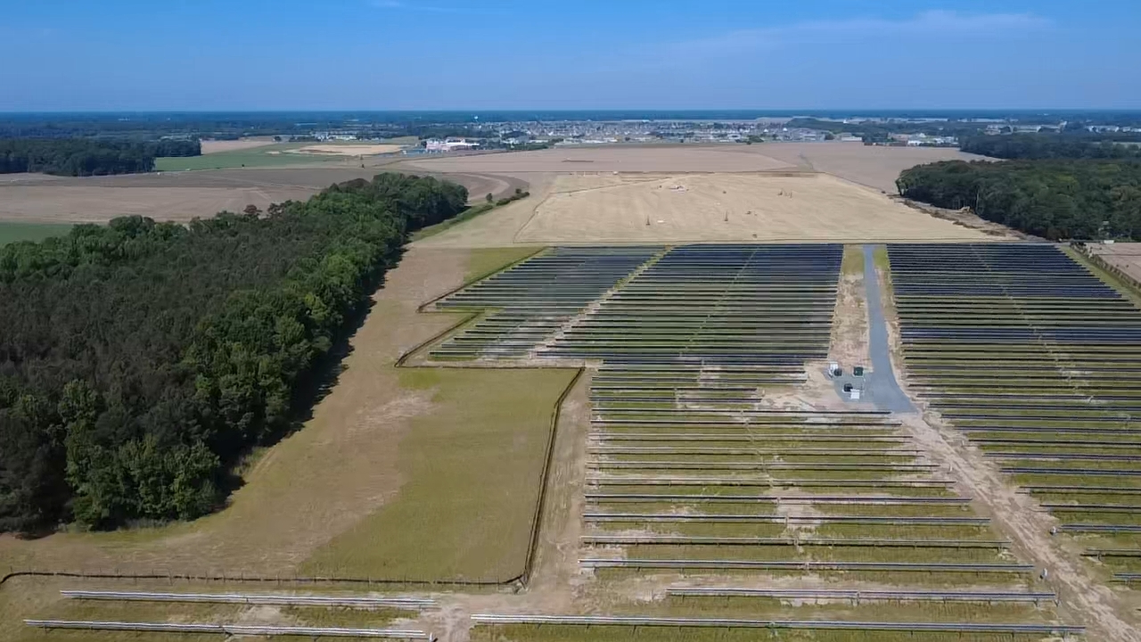
- Other Industries and Uses: Sectors like Energy, Natural Resources, and Infrastructure, Landscaping - or any industry for that matter – that can benefit from virtual inspections, appraisals, assessments, property data analysis and project planning based on up-to-date or historical aerial imagery.
Start accessing Eagleview imagery in Esri’s ArcGIS or visit EXPLORE to access Eagleview imagery through the SkyWatch platform.